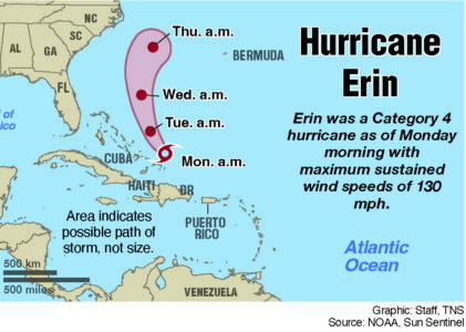
Hurricane Erin forecast to churn up dangerous swells and winds
RODANTHE, N.C. (AP) — Hurricane Erin chugged slowly toward the eastern U.S. Tuesday, stirring up treacherous waves that already have led to dozens of water rescues and shut down beaches along the coast in the midst of summer’s last hurrah.
While forecasters remain confident the center of the monster storm will remain far offshore, the outer edges are likely to bring damaging tropical-force winds, large swells and life-threatening rip currents into Friday.
Warnings about rip currents have been posted from Florida to the New England coast with New York City closing its beaches to swimming on Wednesday and Thursday. Several Long Island and New Jersey beaches also will be off-limits.
“Enjoy the shore, enjoy this beautiful weather but stay out of the water,” New Jersey Gov. Phil Murphy said Tuesday.
Off Massachusetts, Nantucket Island could see waves of more than 10 feet later this week. But the biggest threat is along the barrier islands of North Carolina’s Outer Banks where evacuations have been ordered.
The biggest swells along the East Coast are expected over the coming two days.
Climate scientists say Atlantic hurricanes are now much more likely to rapidly intensify into powerful and catastrophic storms fueled by warmer oceans. Two years ago, Hurricane Lee grew with surprising speed while barreling offshore through the Atlantic, unleashing violent storms and rip currents.
On the Outer Banks, Erin’s storm surge could swamp roads with waves of 15 feet. Mandatory evacuations were ordered on Hatteras and Ocracoke Islands. More than 1,800 people had left Ocracoke by ferry since Monday.
National News

Out-of-state Guard troops arrive in DC neighborhoods
Hurricane Erin forecast to churn up dangerous swells and winds
RODANTHE, N.C. (AP) — Hurricane Erin chugged slowly toward the eastern U.S. Tuesday, stirring up treacherous ...

Trump says US troops won’t be sent to Ukraine

Texas Democrats end walkout over redistricting
Hurricane Erin forces evacuations on North Carolina’s Outer Banks
Newsmax to pay $67M in defamation case over bogus 2020 election claims
DENVER (AP) — The conservative network Newsmax will pay $67 million to settle a lawsuit accusing it of defaming a ...