After warmer November in area, no clear pattern for winter ahead
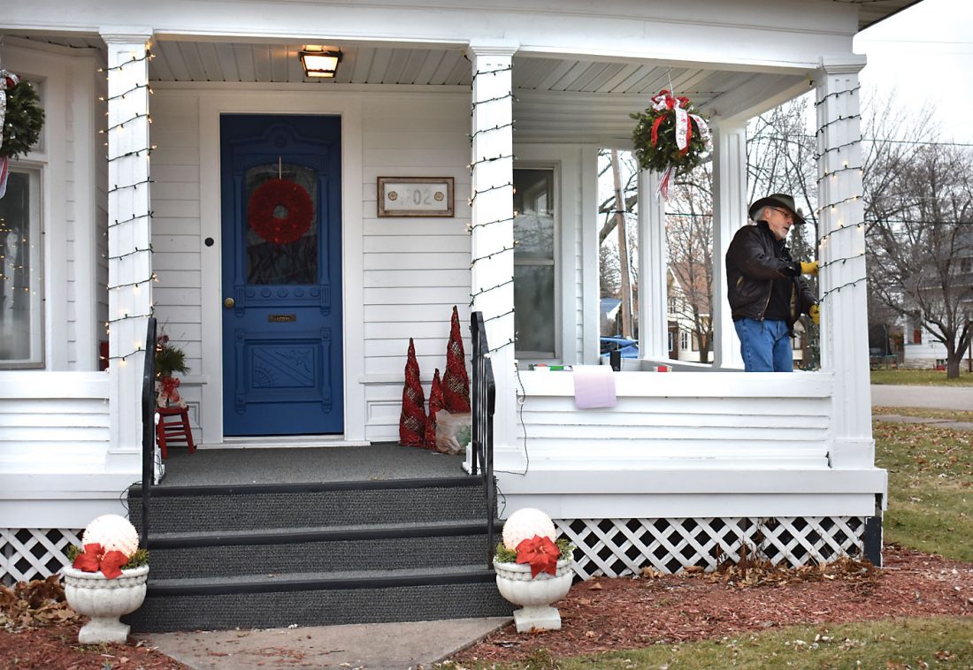
JOE RAKE SPENT part of Sunday stringing lights around the porch posts at 1102 Carpenter Ave. in Iron Mountain, which is the office for his wife, psychologist Dr. Lisa Pangrazzi. (Betsy Bloom/Daily News photo)
IRON MOUNTAIN — Mother Nature is holding the Upper Peninsula winter in check, but the long-range outlook is guesswork.
On the heels of a warm November, the National Weather Service is neutral on temperatures through February, saying there is “high uncertainty” for the Great Lakes region. The precipitation outlook calls for a 40% chance of above-normal snow or rain for the next three months and a 27% chance of below-normal.
La Nina conditions — a cooling of sea-surface temperatures in the central Pacific Ocean — are likely to persist into spring, said Todd Crawford, meteorologist at The Weather Company.
“From a historical perspective, the increasingly strong La Nina event would force an exceedingly warm winter across the southern/eastern U.S., especially late winter and early spring, with colder air across western Canada and parts of the northwestern and north-central U.S.,” Crawford said.
Warm La Nina Novembers tend to be followed by similarly mild conditions in winter, he added, but La Nina also favors increased snowfall in the upper Midwest. Meanwhile, the strength and positioning of the polar vortex will play a role in how often Arctic air drops into the region.
Temperatures last month at Iron Mountain-Kingsford averaged 37.6 degrees, making it the 10th-warmest November on record since 1900. The warmest November was in 2001, when temperatures averaged 41.1 degrees.
Daytime highs at the Iron Mountain-Kingsford Wastewater Treatment Plant observation site soared into the 70s for eight straight days from Nov. 4 through Nov. 11, setting records on five of those dates.
The highest temperature was 77 degrees on Nov. 7, an all-time record for November. The other records were 70 degrees on Nov. 4, 71 on Nov. 6, 73 on Nov. 8 and 70 on Nov. 11.
The November “summer” was attributed to the jet stream shifting to the north, allowing warm southern air to flood the Midwest. Otherwise, the weather was seasonable, with temperatures over the entire month averaging 5 degrees above normal. The lowest reading was 15 degrees on Nov. 18.
Water-equivalent precipitation measured 2.24 inches in November, which was 0.3 inches above normal. There was just a half-inch of snowfall — 5 inches below average.
The U.S. Drought Monitor shows no areas of concern across the Upper Peninsula or northeastern Wisconsin. Storms have pelted the eastern U.S. in recent days, but no significant precipitation is predicted locally until Saturday.
The first day of winter is Monday, Dec. 21, as the solstice arrives at 4:02 a.m. Central time.
Local News

Migration hits the brakes in icy weather

Evers vetoes GOP bills for no tax on overtime and tips
Trump administration plans closure of 4 Michigan forestry research centers
The Archives seeks township information
FELCH TOWNSHIP — The Archives — representing Breen, Felch and West Branch townships — is updating its files ...
Northwood Beekeepers to host apiary inspector
FLORENCE, Wis. — Northwoods Beekeepers will host Patrick Sizemore, apiary inspector for the state of Wisconsin, ...
Registration open for ‘Raise the Roof’ golf outing
KINGSFORD — Registration is open for the 2026 "Raise the Roof" golf outing, a major fundraiser for Habitat for ...