Warnings as IM predicted low for tonight minus 22
An extreme cold warning is in effect until 9 a.m. Central time Saturday in the Upper Peninsula, with wind chills as low as 40 degrees below zero this afternoon through Saturday morning, the National Weather Service said.
Lake effect snow was expected today in portions of the U.P. — up to 7 inches in the west and 8 inches in the east.
“The coldest air of the season and since January 2019 will create dangerous cold conditions tonight through at least Saturday morning across Upper Michigan,” NWS forecasters said. “Blowing snow and reduced visibility will also make travel hazardous.”
Little to no snow is forecast for the Iron Mountain area, but the predicted low tonight is minus 22 degrees Fahrenheit.
All schools in Dickinson and Iron counties — as well as North Central in Menominee County and the Wisconsin school districts of Niagara, Florence, Beecher-Dunbar-Pembine and Goodman-Armstrong Creek — had already canceled classes for today, most due to the anticipated extreme cold.
A couple of local schools districts already had no classes because of previously planned in-service days for staff.
Bay College campuses in Iron Mountain and Escanaba also were closed today.
Temperatures were expected to be at least 18 degrees below zero during night and remain below zero today through Saturday morning, accompanied by deadly wind chills.
Today’s expected high is minus 5. The predicted high Saturday is 2 degrees under sunny skies, with a low of minus 13.
Sunday could see temperatures climb to 9 degrees.
Local News
Winter storm warning tonight through Friday
The National Weather Service has issued a winter storm warning for much of the region to take effect tonight ...
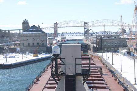
Soo Locks to open for 2026 shipping season
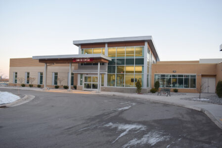
Marshfield Clinic Foundation chosen to receive local 100-Plus donation

Dickinson road millage renewal to be placed on Aug. 4 ballot

Enbridge, Line 5 foes argue tunnel plan before Michigan Supreme Court
St. Norbert College and NWTC create new transfer agreements
GREEN BAY, Wis. — St. Norbert College and Northeast Wisconsin Technical College have announced new transfer ...