More freezing rain in tonight’s forecast

Slush is cleared Thursday afternoon near the entrance to the Sol Blu Lounge & Tap Room on East Ludington Street in Iron Mountain. (Marguerite Lanthier/Daily News photo)
Very difficult travel conditions are possible as freezing rain is expected in the Upper Peninsula tonight into Saturday morning, the National Weather Service said.
A winter storm watch will be in effect from 7 tonight until 10 a.m. Saturday.
The forecast for the Iron Mountain area calls for rain and freezing rain, possibly mixed with snow before 11 p.m. today, then freezing rain possibly mixed with sleet into Saturday morning.
The precipitation is expected to turn to all rain after 10 a.m. Saturday.
Tonight’s predicted low is 28 and the high on Saturday should be near 40.
There is a chance of rain mixed with snow late Saturday, while Easter Sunday should be partly sunny with a high near 42.
With rain freezing on surfaces tonight, there is a chance of power outages.
“Generally, it takes about one-quarter inch of ice accretion or more to cause extensive tree damage and widespread power outages,” AccuWeather meteorologist Alex Sosnowski said.
Ice accumulations near that range had been predicted for the storm ending today in the U.P., and similar accumulations were possible with the second storm expected to arrive tonight.
As of 6 p.m. Thursday, the U.S. Power Outage Map showed 1,100 customers out of service in Menominee County, down from more than 2,000 earlier. Across the border in Wisconsin, 3,000 outages were reported in Marinette County.
There were far more outages in central Wisconsin as a result of storms and freezing rain, including 20,000 customers out of service in Portage County.
Thousands more in Waupaca, Waushara, Wood, Outagamie, Brown, Marathon, Shawano and Sauk counties were hit by outages.
Local News
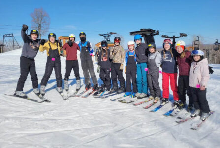
Enjoying a day at the ski hill
UPCC accepting applicants for building trades summer camp
MARQUETTE — The Upper Peninsula Construction Council, in partnership with UP Michigan Works! and local education ...

Ore Dock Brewery to host Festival of the Angry Bear
LSSU selects graduating student speaker
SAULT STE. MARIE — Alana Jewel Miller-Schofield, a dedicated fisheries researcher and conservation advocate, has ...

IM man sentenced to prison in overdose death
Three arrested on drug charges in Ironwood
IRONWOOD — A narcotics investigation in Ironwood that authorities said was years in the making culminated in ...