More snow on the way
NWS predicts 7 to 13 inches could fall in region
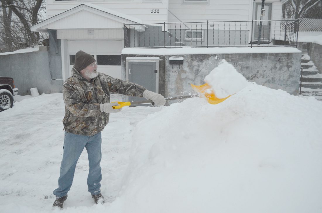
LEE DAVIS SHOVELS his driveway in front of his home on the 300 block of East Ludington Street in Iron Mountain as a light snow falls Thursday afternoon. A more substantial storm is projected to hit the region later today. (Dennis Mansfield/Daily News photo)
IRON MOUNTAIN — A winter storm warning will be in effect from 6 p.m. today until noon Saturday, with 7 to 13 inches of snow expected, the National Weather Service advised.
“Travel could be very difficult to impossible,” NWS said in a statement from the Marquette office. “The combination of heavy, wet snow and strong winds Friday night and Saturday will make travel dangerous at times.”
Power outages will also be possible.
The Marquette office warning includes Baraga, Marquette, Iron, Dickinson and Menominee counties. A statement from the NWS office in Green Bay, Wis., calls for similar conditions across all of northeastern Wisconsin, including Florence, Marinette and Forest counties.
The Iron Mountain area forecast calls for a low of 26 degrees tonight and a high of 32 on Saturday.
Skies should clear by Saturday night, with a low around 16. Sunday should be sunny, with a high near 36. It’s the same for Monday, with a high of about 38.
Local News
Highway 180 project begins July 20 in Marinette County
MARINETTE, Wis. — The Wisconsin Department of Transportation Northeast Region will have construction and full ...
Township, county, school meetings scheduled
Iron Mountain Planning Commission will meet at 3:30 p.m. today at Iron Mountain City Hall. Florence County Board ...
DOT starts M-95 culvert project in Marquette County
ISHPEMING — The Michigan Department of Transportation is investing about $88,000 to replace a culvert on M-95 ...

Kaleidoscope Jos performs Thursday in IM and Norway

Controversy in Houghton County over float that appears to depict ICE