Warmer weather to return — and possibly linger in region
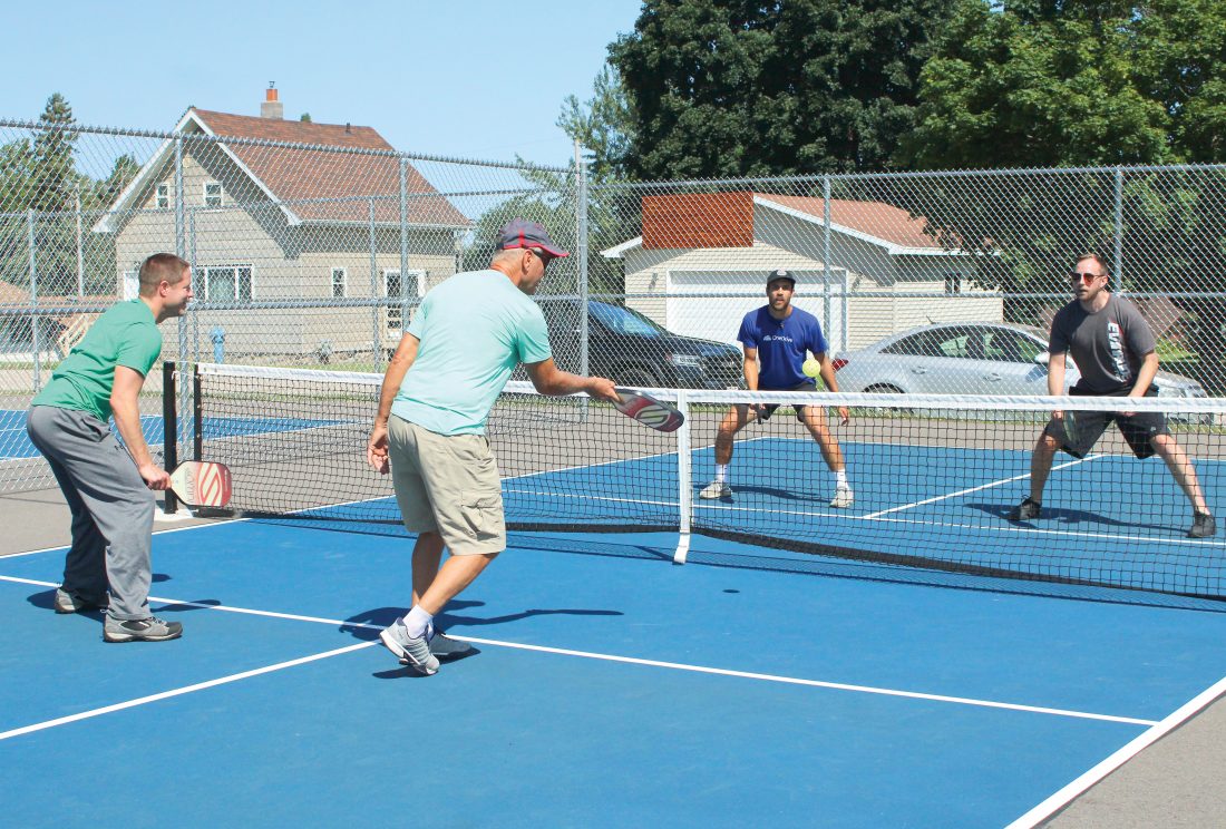
FROM LEFT, BRYCE MONSON, Mark Schinderle, Justin Fila and Derrick Schinderle play pickleball at the Stanton Street courts in Iron Mountain. (Theresa Proudfit/Daily News photo)
IRON MOUNTAIN — August started off like autumn but a long-range forecast from the National Weather Service calls for a warmer pattern through October.
The Climate Prediction Center calls for 48% chance of above-normal temperatures over the next three months and just a 19% chance of below-normal.
“The August-September-October temperature outlook favors above-normal temperatures across all of the contiguous U.S.,” said NWS forecaster Anthony Artusa. Among other factors, the jet stream is expected to track northward, allowing general warmth to prevail.
Highs were only in the 60s earlier this week. But with cooler air in retreat, a high near 83 was expected today at Iron Mountain-Kingsford.
There is a chance of showers and thunderstorms Saturday in the aftermath of Tropical Storm Isaias along the East Coast. Highs early next week should be in the 80s.
Temperatures in July at Iron Mountain-Kingsford averaged 71.5 degrees, which was 3.5 degrees above normal. The area saw high temperatures of 92 degrees on July 3, July 6 and July 7. The lowest reading was 52 degrees on July 13 and July 16.
Rainfall last month measured 6.96 inches — nearly 3 1/2 inches above normal — extending a soggy pattern that has lasted several years.
Through July, the Iron Mountain-Kingsford Wastewater Treatment Plant has measured 23.84 inches of water-equivalent precipitation — about 6 inches below the typical total for an entire year.
For records dating to the early 1900s, the two wettest years have occurred in 2017 — a record 39.3 inches of precipitation — and 2019, 39.31 inches. The 2018 total was 34.73 inches.
This year, precipitation totals have been above average in every month except February.
The long-range forecast calls for normal precipitation trends over the next three months across the Upper Peninsula and northeastern Wisconsin. With normal precipitation through the end of the year, the 2020 total at Iron Mountain-Kingsford would be 36 to 37 inches.
Currently, the U.S. Drought Monitor shows no area of concerns across the U.P. and Wisconsin. However, conditions are abnormally dry over all but the northernmost Lower Peninsula.
Even with the changing of the seasons in September, it may still feel like summer for many across the U.S. as warm weather holds strong over much of the country, forecasters say.
Areas near the Great Lakes could experience spells of record-challenging warmth during the first half of autumn, according to AccuWeather meteorologist Paul Pastelok. “This could include Cleveland, Detroit and Cincinnati,” he said.
Local News

Wisconsin unemployment rate drops to 3.4% in May

Whitmer’s working trip to Europe draws criticism

Severe weather hits areas of the Midwest

IM’s downtown Summer Roll Out ‘great for all ages’

Breitung board pleased with superintendent pick
DIDHD offers free vision, hearing screenings for kids
KINGSFORD — The Dickinson-Iron District Health Department will provide free hearing and vision screenings for ...