Brisk wind chills in New Year’s forecast
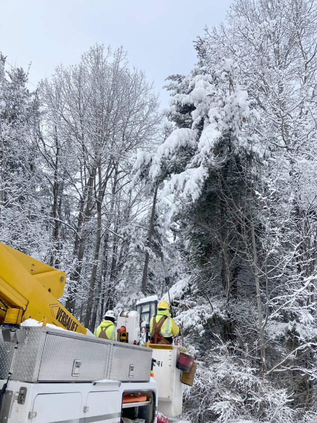
A utility crew works Monday to restore storm damage in the Tomahawk, Wis., area. (Wisconsin Public Service photo)
IRON MOUNTAIN — A winter weather advisory is in effect through tonight in the western and eastern Upper Peninsula, where 3 to 10 inches of lake effect snow was expected beginning Tuesday night.
The Iron Mountain area was expected to see an inch or less of snow, according to the National Weather Service.
“Expect colder temperatures for New Year’s Eve into New Year’s Day with wind chills in the negative single digits and teens for the first hours of 2026,” NWS said in a hazardous weather outlook issued Tuesday afternoon.
The Iron Mountain forecast for New Year’s Day, Thursday, is partly sunny with a high near 12. Gradual warming without precipitation is expected going into the weekend, with highs near 18 Saturday and 22 Sunday.
After a storm that began Sunday night knocked out power to thousands of customers in the Upper Peninsula, We Energies by late Tuesday afternoon reported only 120 remaining outages, including 106 in Watersmeet.
Upper Peninsula Power Co. reported 10 outages in Marquette County’s Forsyth Township. Wisconsin Public Service reported about 50 remaining outages, mostly in Brown and Door counties.
WPS said it had restored power to more than 28,000 customers since Sunday. “WPS and extra contract crews have worked quickly and safely in frigid conditions to repair significant damage — including downed power lines, downed trees and limbs that have fallen into electric equipment,” said Matt Cullen, WPS media relations.
Local News
Winter storm warning tonight through Friday
The National Weather Service has issued a winter storm warning for much of the region to take effect tonight ...
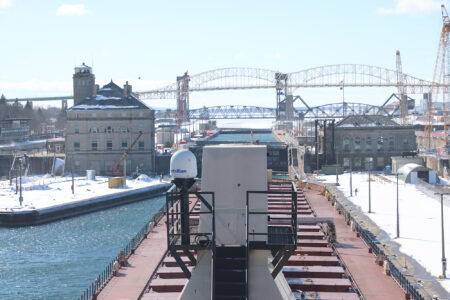
Soo Locks to open for 2026 shipping season
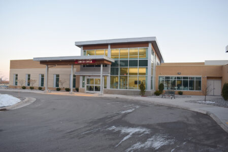
Marshfield Clinic Foundation chosen to receive local 100-Plus donation
Dickinson road millage renewal to be placed on Aug. 4 ballot

Enbridge, Line 5 foes argue tunnel plan before Michigan Supreme Court
St. Norbert College and NWTC create new transfer agreements
GREEN BAY, Wis. — St. Norbert College and Northeast Wisconsin Technical College have announced new transfer ...