
Summer forecast is ‘normal’ as hottest days lie ahead
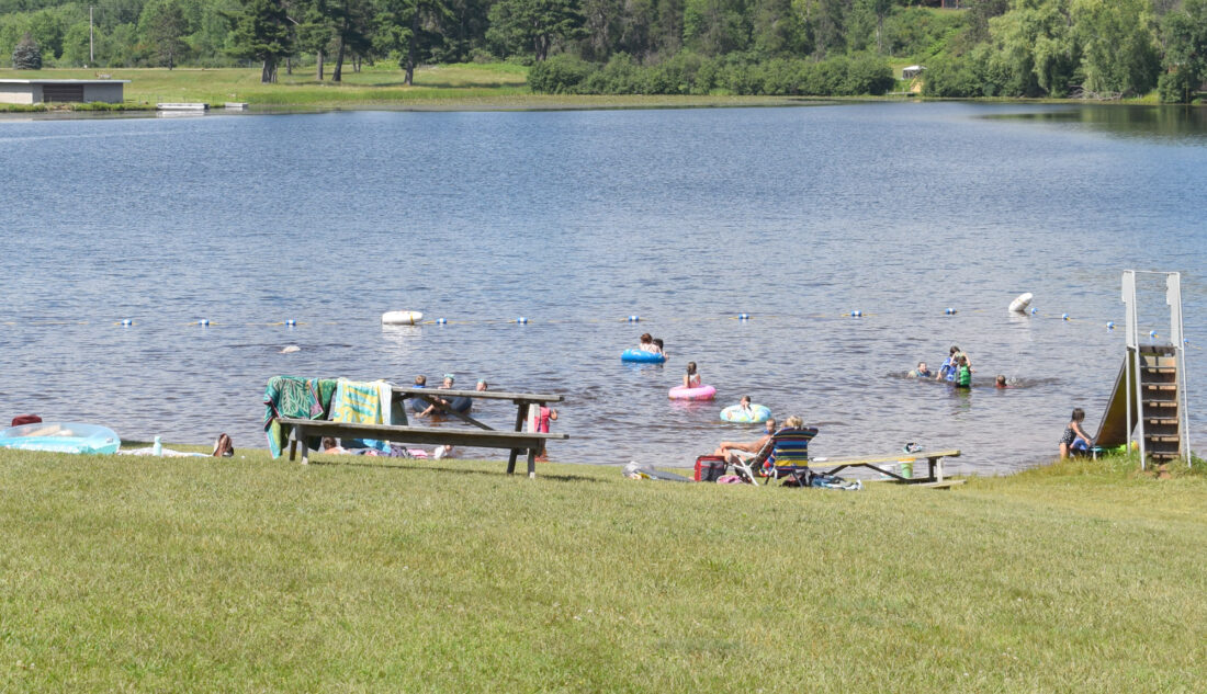
Families enjoy the weather Thursday at Cowboy Lake in Kingsford. (Marguerite Lanthier/Daily News photo)
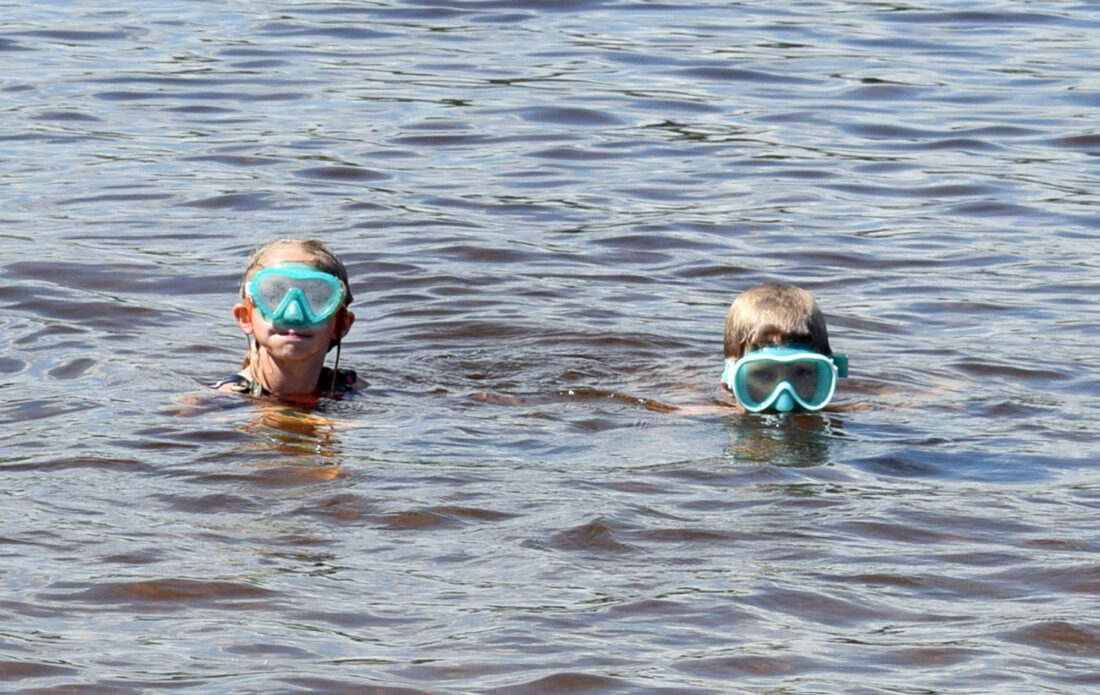
Bella Romback, 7, and her brother, Colton, 11, both of Kingsford, swim at Cowboy Lake in Kingsford on Thursday. (Marguerite Lanthier/Daily News photo)
Families enjoy the weather Thursday at Cowboy Lake in Kingsford. (Marguerite Lanthier/Daily News photo)
Bella Romback, 7, and her brother, Colton, 11, both of Kingsford, swim at Cowboy Lake in Kingsford on Thursday. (Marguerite Lanthier/Daily News photo)
Trending
IRON MOUNTAIN -- The National Weather Service has a neutral outlook on temperatures in the Upper Peninsula and northern Wisconsin for the rest of summer, but slightly favors below-normal rainfall.
For the near term, extreme heat is expected next week, with highs into the upper 90s on Monday and Tuesday dropping off slightly by mid-week. There's a chance of thunderstorms this weekend.
"Many (Midwest) cities may set new highs for the year," said AccuWeather meteorologist Alex Sosnowski. "Daily records may also be challenged or broken in some locations, despite this being one of the hottest periods of summer historically."
The U.S. Drought Monitor shows no areas of concern in most of the Upper Peninsula. Despite recent storms, abnormally dry conditions are listed in parts of Gogebic, Ontonagon, Houghton and Keweenaw counties, as well as Florence, Marinette and Forest counties in Wisconsin.
Severe weather remains a potential threat throughout the summer, according to an AccuWeather outlook.
NWS confirmed that a rare U.P. tornado touched down on the evening of June 30 near Trenary. The tornado did not cause any injuries but did cause tree damage with wind speeds reaching 85 mph.
The tornado formed as a thunderstorm in southern Marquette County continued to develop into a supercell thunderstorm as it moved east into Delta and Alger counties, NWS said. That same night, storms knocked out power to more than 2,000 customers in eastern Dickinson County and northern Wisconsin.
A day earlier, 60 trees came down during a storm at Ontonagon Township Park, but there were no injuries, the Houghton Daily Mining Gazette reported. Meanwhile, there was widespread road damage in the northern Lower Peninsula in the wake of severe flooding.
Also in Lower Michigan, more than 350,000 electrical customers were without power on Independence Day after storms swept through the state on July 3, the Associated Press reported.
After delivering just an inch of rain in May at Iron Mountain-Kingsford, the skies turned generous in June. Rainfall at the Iron Mountain-Kingsford Wastewater Treatment Plant observation site measured 5.17 inches in June, which was nearly 1 1/2 inches above average.
At Ironwood, however, NWS reported only 1.28 inches of June rainfall, more than 2 1/2 inches below normal.
For the U.P. and northern Wisconsin, the Climate Prediction Center sees a 37% chance of below-average precipitation from now through September, and a 29% chance of above average.
June temperatures at Iron Mountain-Kingsford averaged 63.3 degrees, which was 0.7 degrees below normal. The highest temperature was 86 degrees on June 4 and the lowest was 39 degrees on June 1. The month had a relatively warm start, but it was cooler than average for nearly two straight weeks beginning June 15.
On June 30, the unofficial high was 94 degrees, with data from that date to be reported by NWS next month. Unofficial highs have been above 80 every day so far in July, with the hottest day July 7 at 89.
The typical high for Iron Mountain-Kingsford in July is about 80 degrees, while in August it's 78.
The forecast beyond summer across the Midwest favors above-average temperatures for the late fall and early winter.
El Nino conditions have developed in the tropical Pacific and are forecast to strengthen into the fall, according to NWS. For the Upper Peninsula, that points to a mild and possibly dry winter.
El Nino is a naturally occurring climate pattern characterized by above-average sea-surface temperatures in the central and eastern equatorial Pacific Ocean. The effects of each El Nino event vary, but the World Meteorological Organization anticipates an increased likelihood of extreme weather globally.
"El Nino conditions are already underway and are forecast to strengthen rapidly into a strong event -- as accurately anticipated by WMO forecasts," WMO Secretary-General Celeste Saulo said in a July 3 news release. "This will intensify the chances of drought and heavy rainfall and the risk of heat waves on land and marine heat waves in many regions of the world."
———
Jim Anderson can be reached at 906-774-2772, ext. 85226, or janderson@ironmountaindailynews.com.