State House redistricting splits Dickinson County

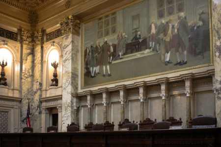
A MAP FROM the Michigan Independent Citizens Redistricting Commission website shows state House districts approved for the Upper Peninsula. The western portion of Dickinson County that includes the cities of Iron Mountain and Kingsford will be in the 110th District, while the eastern three-fourths of the county will be in the 109th.
IRON MOUNTAIN — A new legislative map approved Tuesday by Michigan’s redistricting commission will split Dickinson County into two Michigan House districts.
The cities of Iron Mountain and Kingsford and northern towns along the M-95 corridor will be part of a western Upper Peninsula district — the 110th — while the Norway-Vulcan area and communities to the east of the M-95 corridor will be part of the 109th in the central Upper Peninsula.
The Dickinson County Board had opposed the move, noting it will create confusion and increase the cost of holding elections. A resolution adopted by the board in October said the plan “violates the spirit and intent of Proposal 2,” the initiative approved by voters in 2018 that established the commission.
Dickinson County is now part of the 108th House District, which also includes Delta and Menominee counties.
The “Hickory” map for the state House selected by the panel Tuesday will put the more populated western slice of Dickinson County into the 110th, generally with Iron, Gogebic, Ontonagon, Houghton and Keweenaw counties.
The lesser populated eastern three-fourths of Dickinson County will be in the 109th, generally with Baraga, Marquette and Alger counties.
The new 108th District will include Menominee, Delta, Schoolcraft and most other U.P. counties to the east.
The redistricting maps, which came nearly two months late due to a pandemic-related delay in census data, could face legal challenges.
Tuesday’s votes capped months of work by the panel, which was created to stop partisan gerrymandering. Eight of 13 commissioners backed a new congressional map, nine supported the state Senate map and 11 endorsed the state House map.
The panel is empowered to handle the drawing of legislative boundaries every 10 years.
Local News

The cheesehead hat turns an insult on its head
Wisconsin Supreme Court agrees to hear congressional maps lawsuit
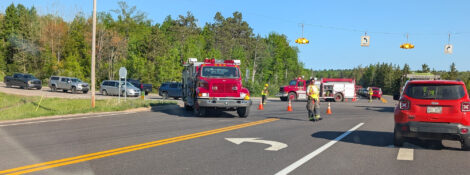
Niagara man dies after motorcycle-SUV collision

Forest Park student earns national publishing award

Lack of rehabbers leaves few choices for fawns in need of care
Motorcyclist killed in Breitung Township crash
A 21-year-old Niagara, Wis., man was killed Thursday when the motorcycle he was operating collided with an SUV ...